Lower Wolfjaw
-

Lower & Upper Wolfjaw
Conditions in the Adirondacks in spring are usually variable and can present a different set of challenges to winter or summer hiking. This day was warm (for April) and changed from sunny to snow to ‘wintry mix’ to light rain to sunny again — fairly typical.
-
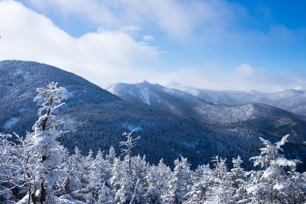
Lower Great Range for Project 100
This hike was supporting Neil Luckhurst and his Project 100, which is raising funds for the ADK High Peaks Foundation.
-
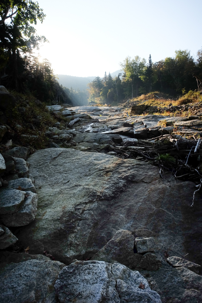
Bennies Brook Slide to Lower WolfJaw, Upper WolfJaw & Armstrong
We started before sunrise, and made our expected time to the DEC Interior Outpost. From there we crossed Johns Brook onto the now-unmaintained South Side trail, first crossing the start of the Range Trail and a half mile later the base of Bennies Brook.
-

Lower WolfJaw, Upper WolfJaw, Armstrong, Colvin and Blake from the JBL
Lacking my usual distance-and-elevation calculator, I mapped out what looked to be a not impossible 24-mile loop, starting and ending at the JBL and covering Lower & Upper WolfJaw, Armstrong, Colvin & Blake. There just happened to be the Ausable Valley in between them.
-

Lower Wolf Jaw (Winter)
There are perfect days for hiking. This, unfortunately, was not one of them. In fact, it was the opposite of a perfect day for hiking.
-
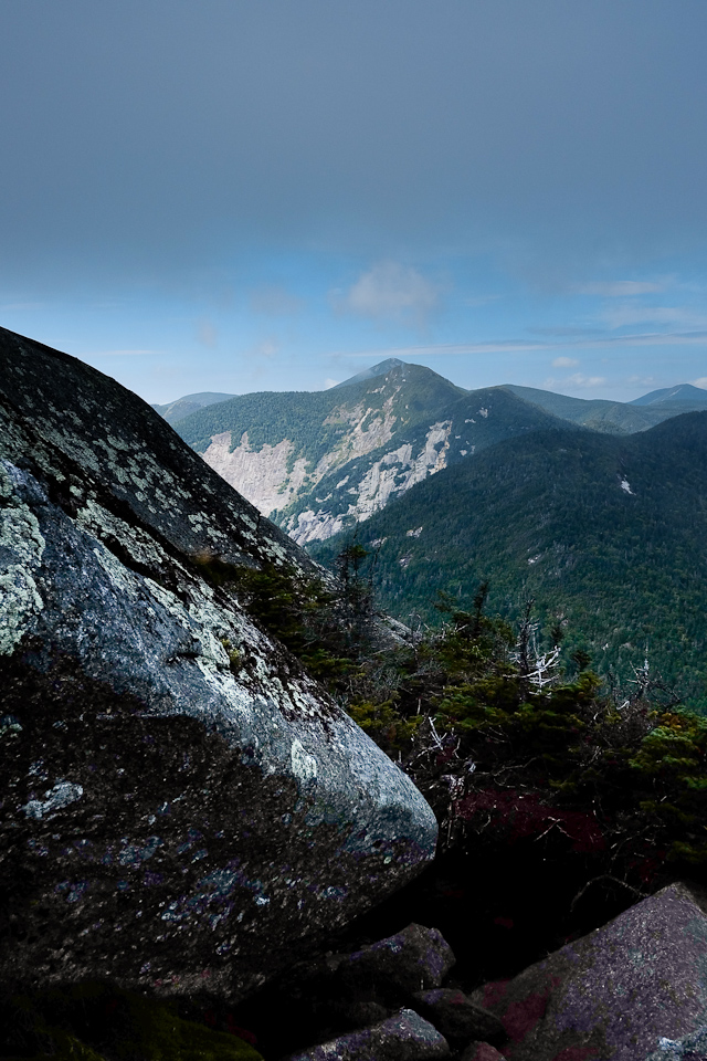
Rooster Comb to Basin – (Almost) Great Range Traverse
I hiked about 20.1 miles, gaining 7,200 vertical feet over 8 mountains. It wasn’t quite a full Great Range Traverse, but I got to hike some new trails and re-summit some of the most picturesque summits in the Adirondacks. It was a good day.
-

Keene Valley, NY Infrared
The clouds were absolutely perfect for infrared photography!
-

Lower Wolfjaw, Upper Wolfjaw, & Armstrong
We made it fairly easily up to 4,173-foot Lower Wolfjaw which offered better views on the way than on the top, and then went back down-and-up to get to 4,173-foot Upper Wolfjaw. After lunch on Upper Wolfjaw, we easily had enough in us to make it down-and-up again to 4,400-foot Armstrong.