Grand Canyon South Rim-to-Rim
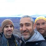
Credit for this hike goes to a French co-worker of mine Yann, who like me wanted to do something interesting before our 3-day conference in Phoenix. In retrospect, Yann & Mathieu were lucky I tagged along, because their two-night reservation at the campground was originally booked for the wrong weekend. I assisted with American date formats and we camped on the South Rim Friday and Saturday nights.
The overnight weather on the rim was perfect, with lows near freezing. Despite the cold at the rim, we knew it would be 50°F (30°C) warmer at the bottom, so we all agreed to catch the 4:30AM bus. We all slept a bit fitfully, but were eager to hike on Saturday morning.
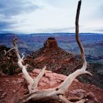
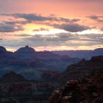
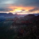
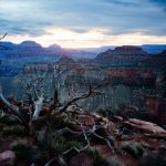
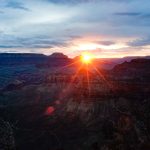
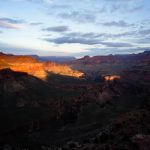
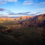
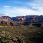
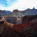
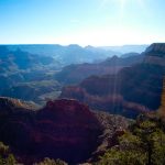
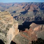
We started down the South Kaibab trail at 5:45AM and because of shifting clouds got to enjoy two sunrises on the way. The views were stunning. It looks very different and, strangely, smaller from inside the canyon versus from the rim. The varying waves of different-colored rock made every turn breathtaking.

We were passed only by trail runners and the mule train ferrying supplies to the campgrounds at the bottom, and crossed the impressive suspension bridge over the Colorado before 8AM.
As expected, it was hot. The clouds dissipated and it felt every bit of 85°F. The water was too cold for everyone except the teenagers to jump in. Yann had planned a loop, so we headed up the Bright Angel trail back to the rim.
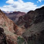
This was a strange hike indeed, leaving all the climbing for the end. The Colorado River is almost a full mile lower in elevation, so getting there is more than a trivial bit of walking. The start of the Bright Angel trail rises and descends a bit more, and just for a little added difficulty has a stretch over soft sand.
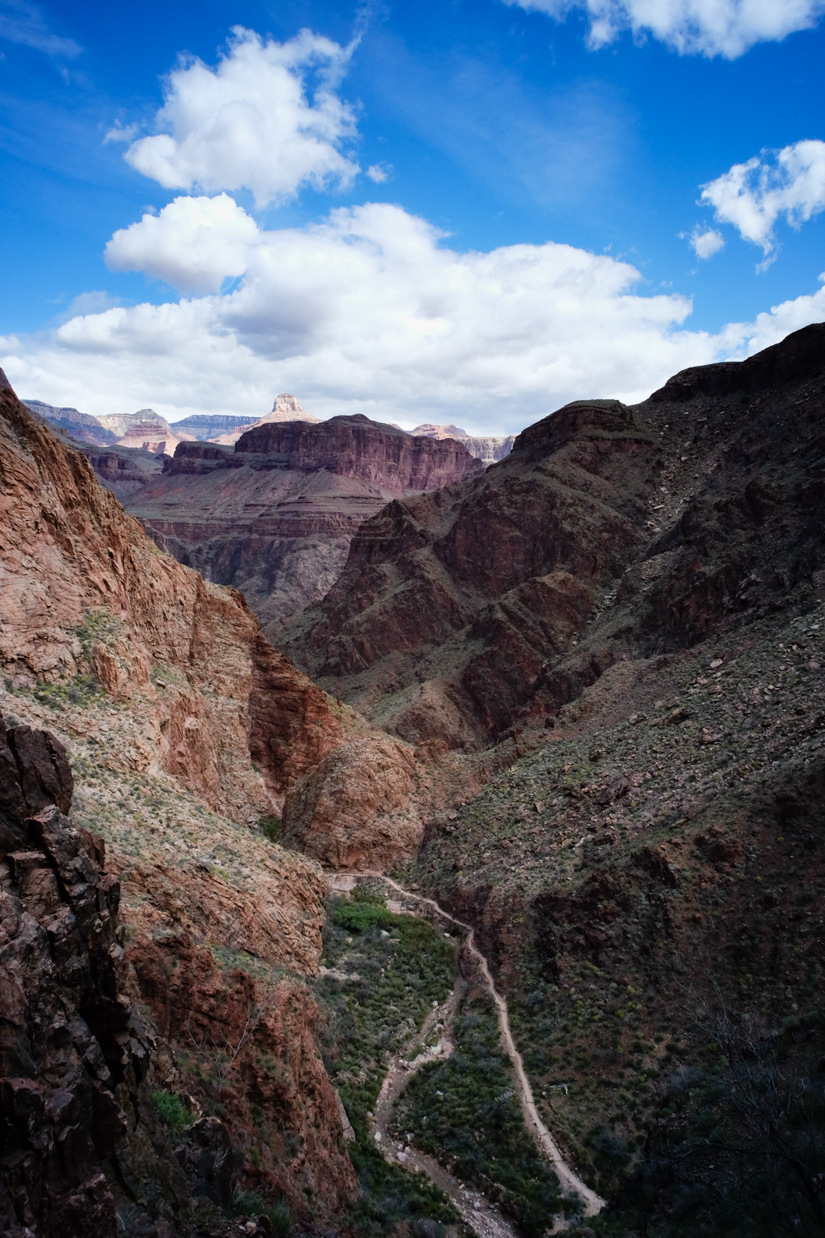
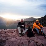
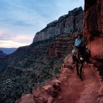
By the time we got to the first real set of switchbacks at the aptly-named Devil’s Corkscrew I knew it would be a tough climb. Yann regularly climbs in the Pyrenees, so this wasn’t much of a challenge for him. I kept pace with Yann through the Corkscrew and Mathieu was starting to feel the climb. We slowed down a bit (Yann was happy to stop and take some of his 1,000 photos on the day) and made it to the Indian Garden, a lush and very green waypoint still 4.6 miles from the rim.
The climbing was harder than I expected. Not because of the trails themselves, which were closer to city sidewalks than my typical Adirondack trails, but because of the long, continuous climb at the end of the hike. By the time we hit the 3-mile outpost I was happy to sit and wait for Mathieu. At the 1.5-mile outpost I knew that stopping would be worse than moving straight uphill, so I made the final push to the top.
Estimates vary, but the hike total was around 14-15 miles and between 4,500-5,500 total vertical feet. I can routinely do hikes of that magnitude here in the east, but even the Adirondacks with its switchback-less trails, doesn’t have chunks of ascent lasting 4,500+ vertical feet, so I was spent at the top. It took us about 5 hours to climb back out from the river.
Saturday night we all slept like babies.
Dick Mumaugh
April 15, 2019Great photos! I can only imagine what it looked like to you and your buddies as you saw the sights first-hand. Beautiful colors.