A Wet TableTop and Phelps
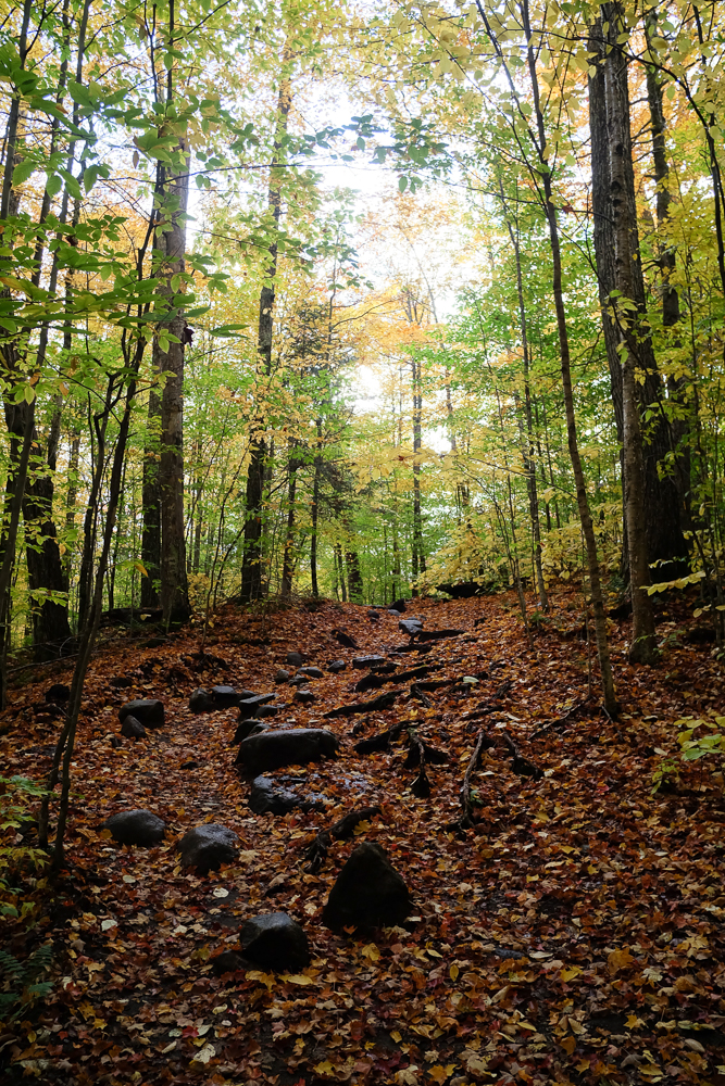
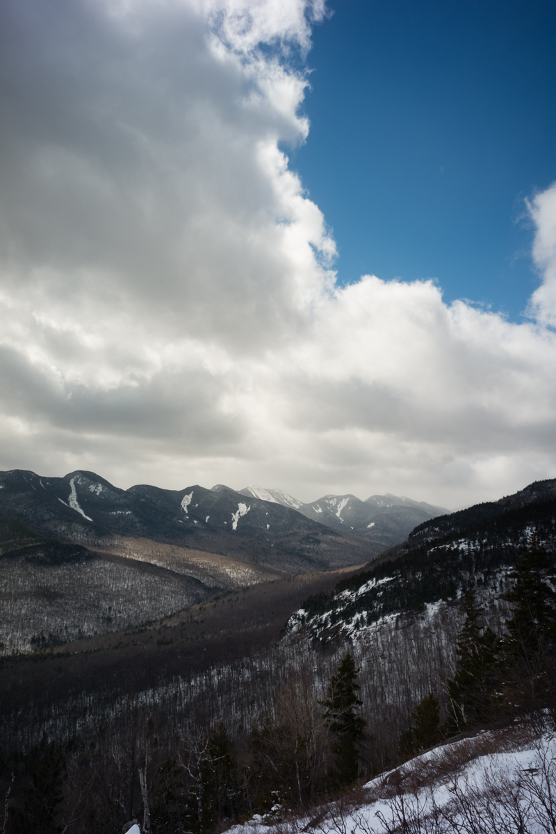
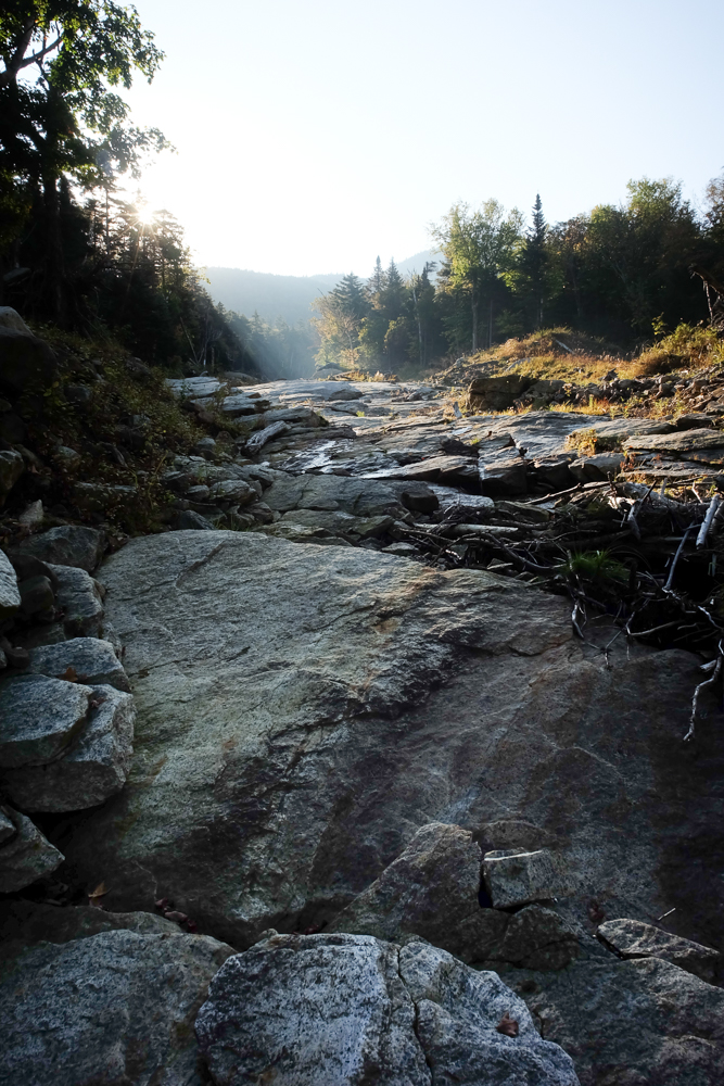
Not exactly ideal conditions to enjoy a hike, it was warm, humid, and wet. When the Van Hoevenberg trail had running water on it, I knew that it would be a sopping mess getting to TableTop.
Sean Carpenter – Photographs and Work
Personal Photography and Work
Not exactly ideal conditions to enjoy a hike, it was warm, humid, and wet. When the Van Hoevenberg trail had running water on it, I knew that it would be a sopping mess getting to TableTop.
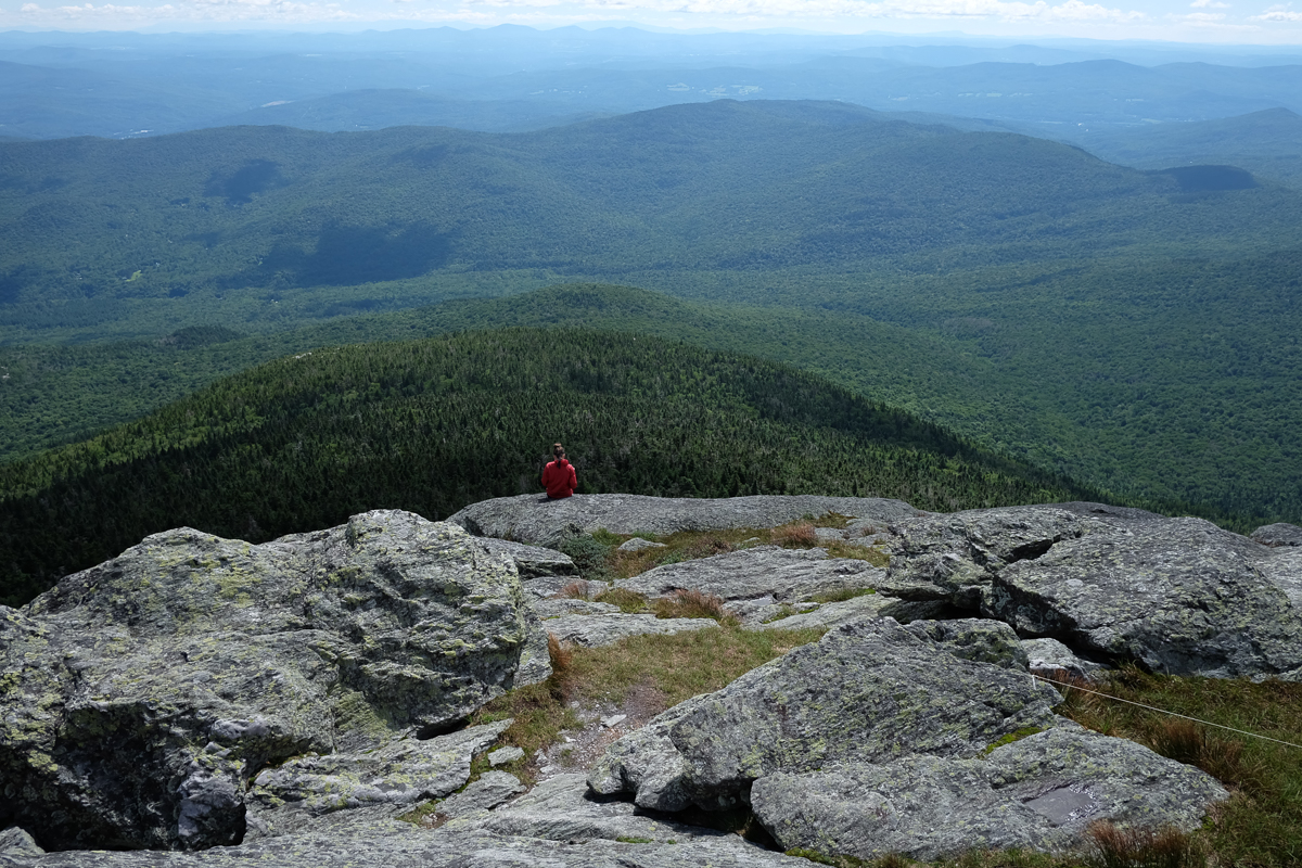
After climbing Mount Mansfield with the family and Abraham/Ellen/Killington on my own, we had one more day of hiking in mind, the very popular Camel’s Hump. We wisely opted for an early start, helped along by the weather (finally!) breaking.
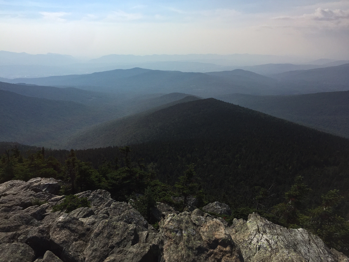
I planned a solo/company optional hiking day, and was originally going to drive over to New Hampshire to try my hand at the Whites. Lo, the pre-dawn rain convinced me otherwise, so I decided instead to do the three southernmost peaks in the Vermont 4,000′ list.
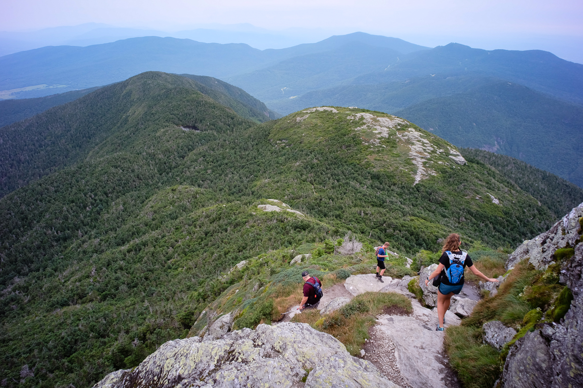
Vermont has 5 mountains above 4,000′ elevation, with 4,393′ Mount Mansfield as the highest. When viewed from the side, Mansfield roughly resembles an elongated head. Looking south-to-north, there is a bump for a forehead, then a sloping prominence to the tip of the nose, two small bumps along the ridge as the lips, and the high point on the rounded chin.
This hike was supporting Neil Luckhurst and his Project 100, which is raising funds for the ADK High Peaks Foundation.
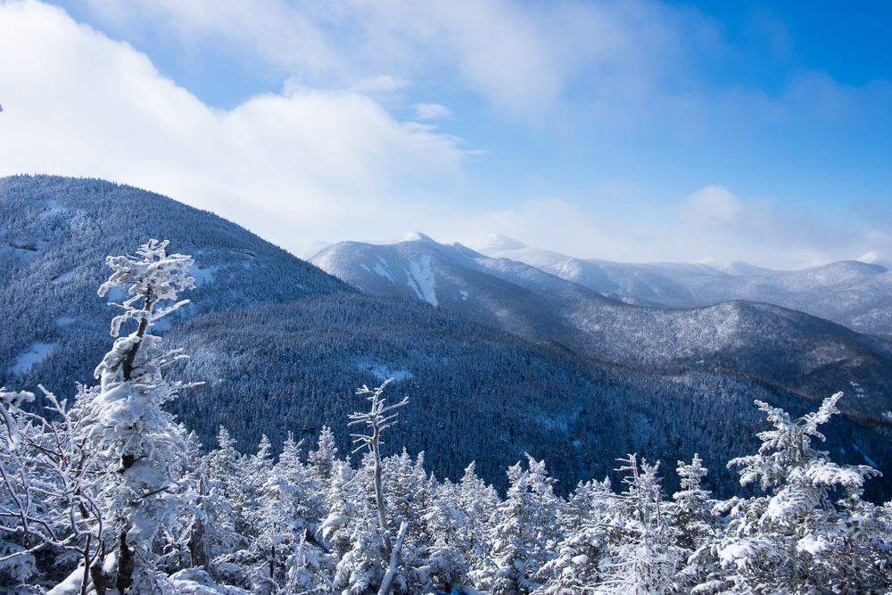
Yesterday perfectly encapsulated shoulder season: A nice 3-4″ of cool snow on the way in; about 6″ of snow (drifting in places) at elevation; icy steep pitches, sometimes hiding under powdered snow; warming sunshine melting low-lying snow by the end of the day creating wide mud swaths.

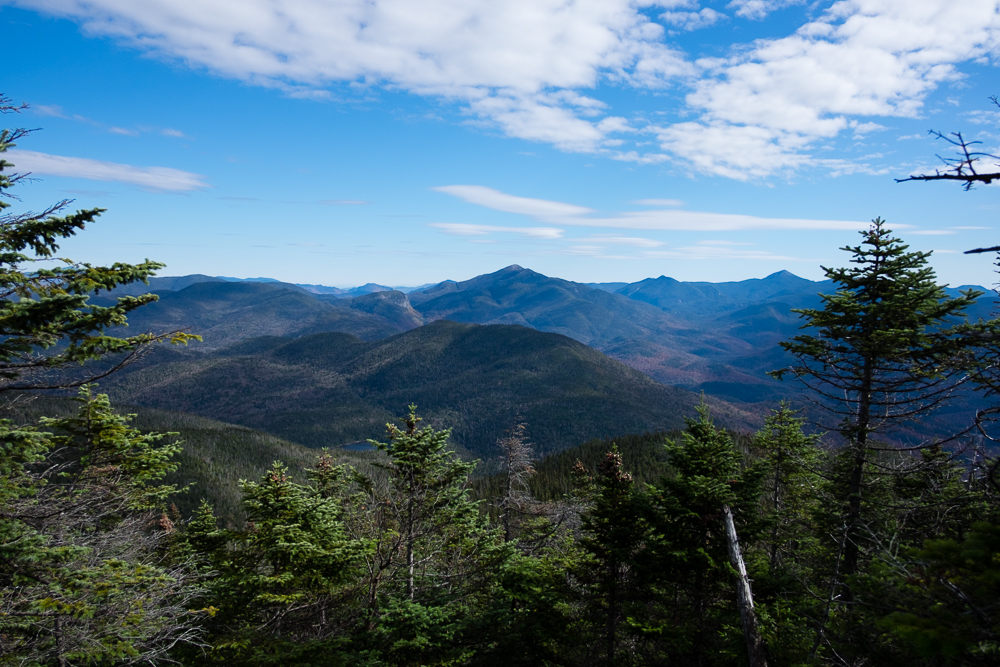
We opted for a short climb of Mount Colden, up and back via Lake Arnold. This is our third trip along this route together, our first time was our 46th peak.
This would be my fifth visit to this southwestern Adirondack range, and Kathy’s second.
We started before sunrise, and made our expected time to the DEC Interior Outpost. From there we crossed Johns Brook onto the now-unmaintained South Side trail, first crossing the start of the Range Trail and a half mile later the base of Bennies Brook.

Allen Mountain for my September 46, followed by Street & Nye to get Kathy approaching half way towards a 46 year.
I took my camera to document our hike up the huge slide leading up to Nippletop. The only problem is that we never got there.

This was pretty cool. Skies in West Chester were clear, we had about 75% coverage at eclipse maximum. I don’t have a solar setup for my camera, so these are improvised.
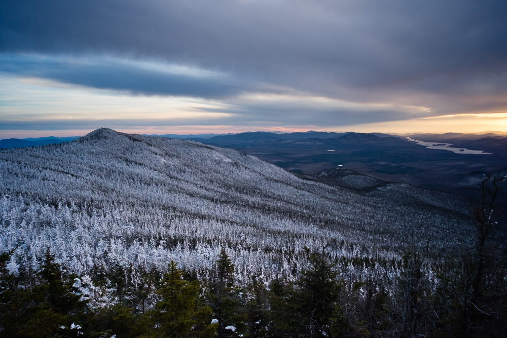
Sunday’s hike would be a bit easier though, and had a unique bonus for the Adirondacks: Lunch at the cafe at the summit.