This is our third day of high peaks hiking, after completing the Lower Dix Range and Tabletop Mountain on the previous two days. It would prove to have both the longest distance and highest vertical climb of the trip.
Many (most?) people choose to climb Cliff & Redfield Mountains from the south via the Upper Works trailhead. From the Adirondack Loj, where Kathy and I started, the mileage is about the same, but our route skirts the 3,800-foot elevation Lake Arnold, adding several hundred feet of climbing both ways.
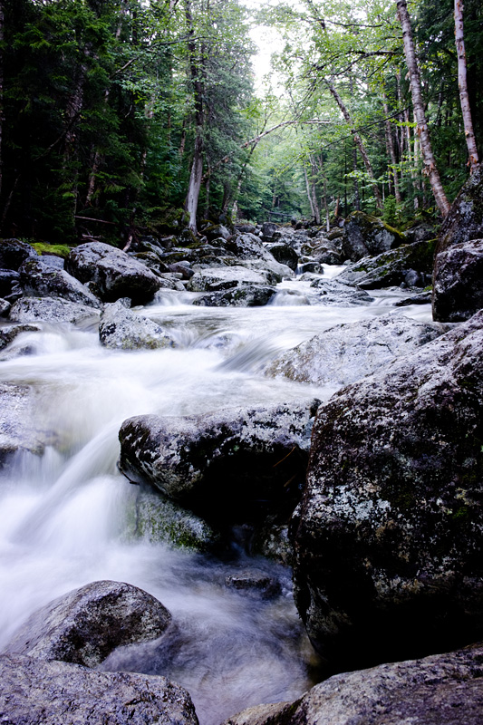
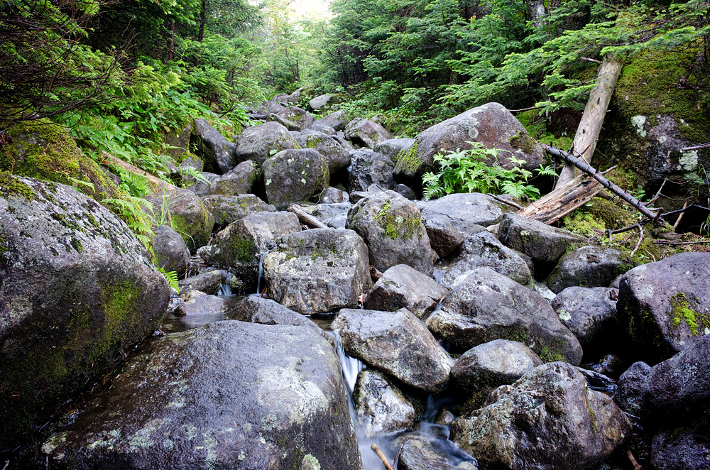
The route is straightforward, up and over Lake Arnold, down and over the Opalescent River, passing the Feldspar Brook trail (to Skylight & Gray) and turning left at the cairn just past the Uphill Brook. This path takes you over the ‘floating’ logs, which at this point weren’t exactly floating – the final log was ankle-deep underwater. It is about 6.8 miles to the Uphill Brook, but already about 1,900 vertical feet of climbing – just to reach the start of the herd path to climb these two mountains.

It was a busy day going to Cliff & Redfield, as we met five groups at or past the cairn. Luckily, we were earlier than most of these groups and since the group with ADKhikermom did Cliff first, we were the first people up Redfield for the day.
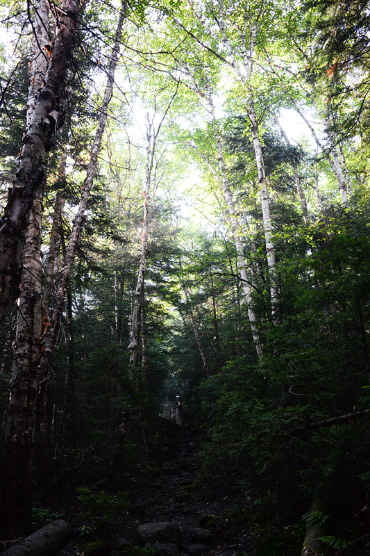
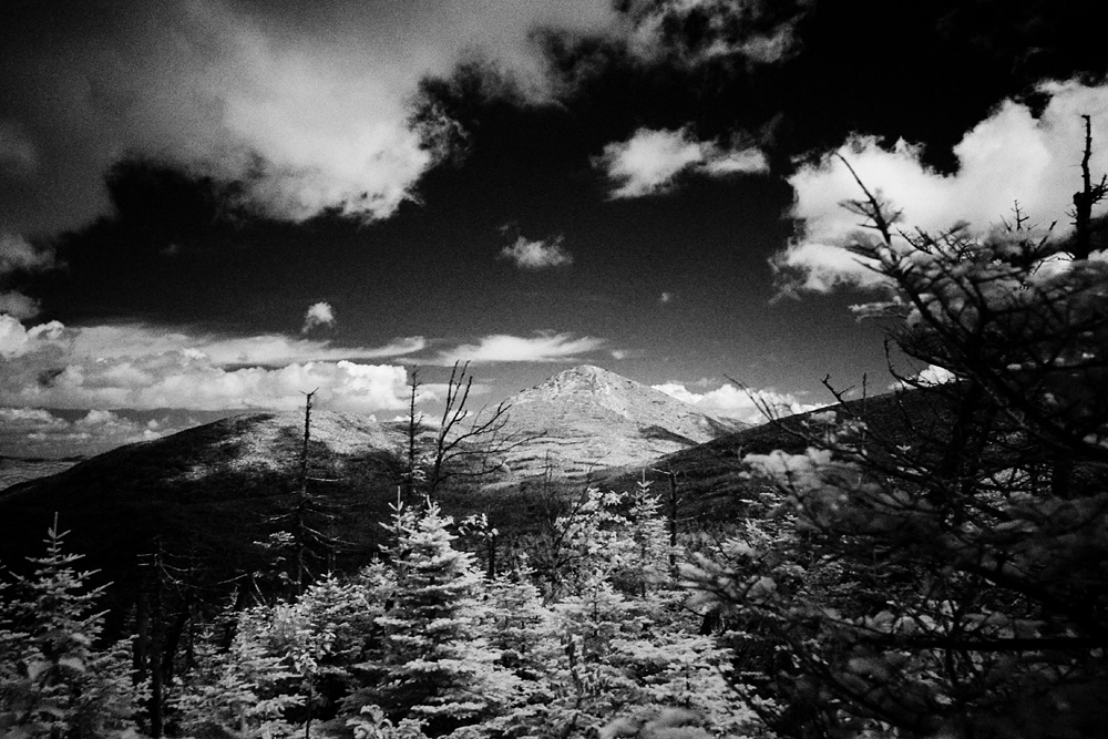
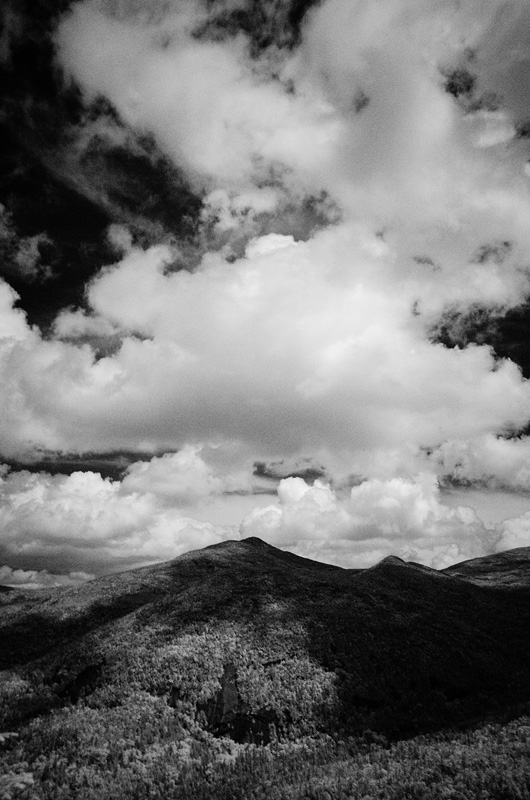
4,606-foot Redfield was a great climb. It followed nearly the whole way a tributary for the Uphill Brook, so it got wet in spots but overall was a fun 1+ mile almost straight uphill. Not expecting much in the way of views, I was pleasantly surprised with sweeping views to the south over Allen Mountain and views back to Skylight and Marcy as well. I plan to go back and bushwhack from Redfield to Skylight, which will make a great day.

Back at the cairn for Cliff, we ran back into ADKhikermom who warned us how muddy the hike up to the summit was going to be. She was right – this was the muddiest hike we’ve done yet. Last year we hiked the famously-muddy Iroquois, which was nothing compared to the slop we encountered all along the route to Cliff. There were some bits of climbing (although the namesake cliffs are on the other side of the mountain) and a false summit, but overall it was just a messy hike with middling views at the end. This path is only going to get worse – it needs some help.
After a refreshing chat with some fine young men (finishing their 35th, 36th, and 37th peaks, respectively) we set back through the underwater floating logs and back up over Lake Arnold. We avoided the rain completely, but still our feet were soaked and muddy, and after more than 17 miles and 4,900 vertical feet we were back at the Loj.


2013: 7 high peaks (4 repeats) As of 8/2/13: 29 (out of 46) high peaks completed.
Our 2013 high peaks: Macomb, S. Dix, E. Dix & Hough; Tabletop; Cliff & Redfield; Marshall; Whiteface & Esther; Dix.
Edit: See: Our Path to 46.
Leave a note