Our expectations, and our mental preparation, changed earlier this year when we successfully did a few 14+ mile hikes pretty easily. Our hike up Mt. Marcy was one of the easier hikes, and our one-way traverse of Gothics & Sawteeth was our favorite so far.
So Kathy and I planned this trip to do one big day, maybe one that Ben wouldn’t like as much as we would. We had planned options: the Dix range, Colvin-Blake-Nippletop-Dial, and Wright-Algonquin-Iroquois. In the back of my mind, I was thinking about Gray & Skylight.
So after our warm-up on Rocky Peak Ridge & Giant, and after a relaxing dinner at the cabin, we posed our options to our 46er mentor. When I mentioned Gray & Skylight, we received an immediate “Skylight is my favorite peak.” This coming from someone who has done all 46 twenty times over, that was all we needed: we pulled out the USGS map and set our minds for the next day. I knew it was going to be a long day, and the weather looked fine with late afternoon thunderstorms.
Our initial plan was to hike from the Adirondack Loj past Lake Arnold, down the Opalescent River and up Feldspar Brook to Gray first then Skylight. We would then take the shorter route home by going over Mt. Marcy and back the well-maintained Van Hoevenberg trail.
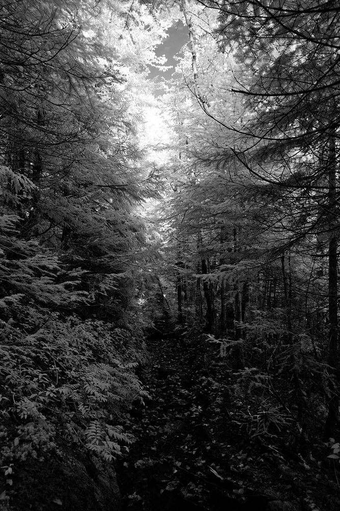
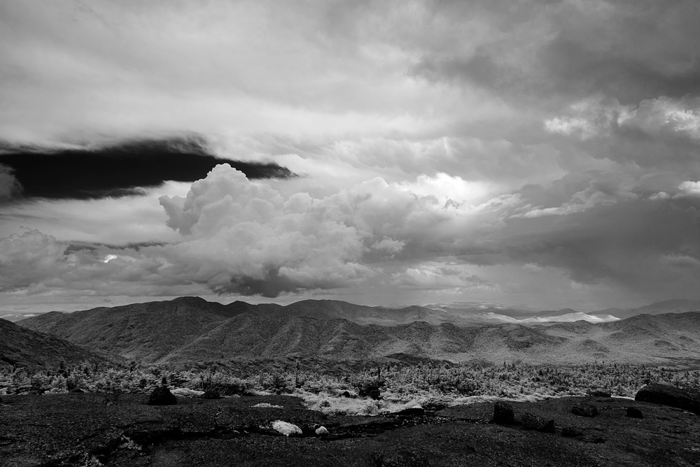
The sun rose as we turned onto the Adirondack Loj Road, and we signed in to the trailhead at 6:44 AM. Our first stop for pictures was at Marcy Dam, where I was thankful for bringing the infrared camera, which makes dreary landscapes a bit more interesting. It turns out that I used the IR camera almost exclusively on this hike.

After more photo stops at Marcy Brook and Indian Falls, and Kathy with two muddy shoes, we stopped at a sunny Lake Arnold by 9:32 AM. Kathy and I agreed that “lake” was a bit of a stretch, so after a brief few pictures headed back on our way.
The trail leads down from Lake Arnold, which since we were doing a loop I mentioned at the time, “thankfully we won’t have to come back up this to get back!”
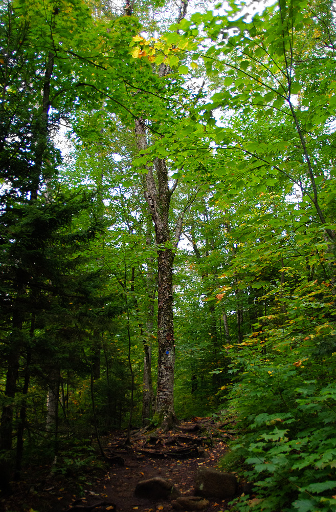
Near where the trail starts to level out was my favorite trail so far in the Adirondacks. It smoothed out and softened, and then led us into a swamp parallel to the Opalescent River. Here some people did tons of work making floating log pontoons allowing us to cross without swimming. Unfortunately there were a couple which were underwater so we unavoidably took some underwater steps. Kathy was consoled that it at least washed off the mud from earlier.
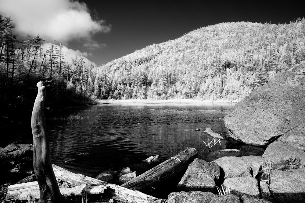
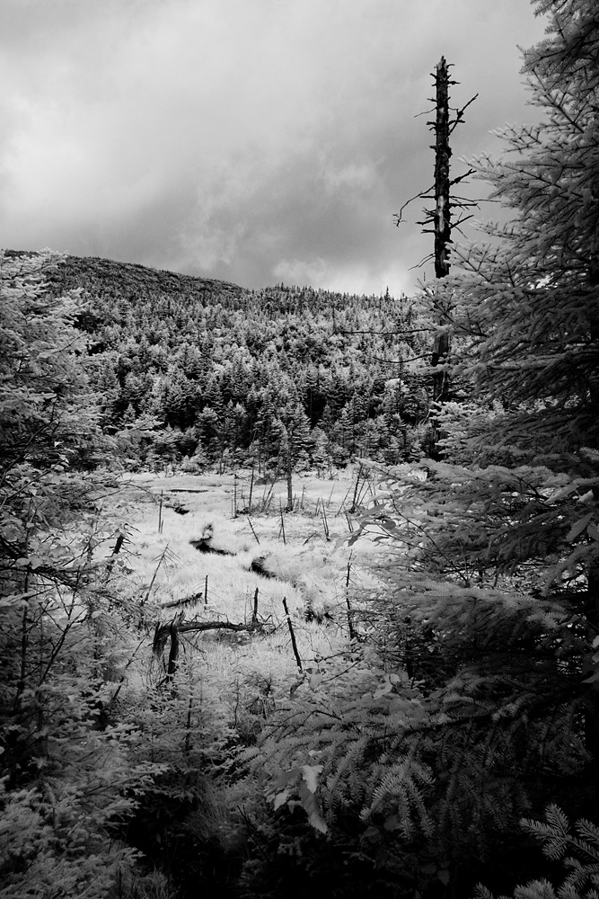
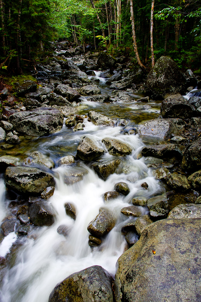
We turned up the last stretch at Feldspar Brook towards Lake Tear of the Clouds and our peaks. This was a consistent uphill, but certainly not unbearably so at any point, and made for a quick ascent. Near the top we grabbed two liters of spring water and headed towards the cairn marking the entrance to Gray Peak.
There is no cairn.
On our way home, we saw the cairn – washed over downstream from Lake Tear. The night before, we had asked if there was a cairn. “Yes, and an obvious herd path.” We kept an eagle eye out for the cairn, and saw the herd path, which unlike many maps showing it a bit away is just feet from the mouth of Lake Tear.
We figured that the cairn must be a bit up the path, so Kathy and I headed up. The herd path was obvious, until after you scramble down a rock face and over a stream to a sheer rock slide. I agreed to continue on a bit to see if I could pick up a herd path again, and all I found was a streambed – so we turned around and went back to Lake Tear. Between the maps showing the herd path a little bit away from Lake Tear and the blunt advice the night before (“Is there a cairn?” “Yes, and an obvious herd path.”) we headed back down the Feldspar Brook. After a little bit, we gave up and headed back to have lunch at the mouth of Lake Tear of the Clouds.
There we met a nice couple who had more updated advice than we got, which read: “There is no cairn marking the entrance to the obvious herd path. When you get to the slide, stay to the right.”
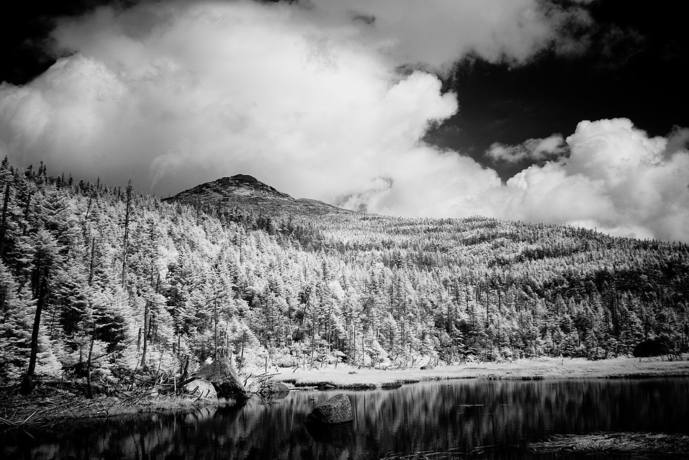
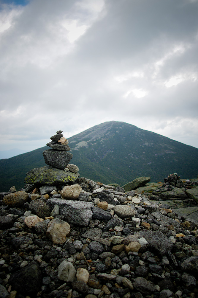
So after lunch at 1:00 PM, we re-did the beginning to the herd path, this time pressing on up the stream (to the right) and to the summit of Gray Peak. It was gorgeous, with views of Skylight and Marcy dominating. You could also peek north, which made me wonder why no one talks about the views from Gray.

After lollygagging for 15 minutes on Gray Peak, we started hearing thunder. Uh-oh, I did a quick calculation and realized that we were getting pressed for time to get back to the car. 20 minutes later we were at Lake Tear again (again) and 30 minutes after that we were summiting our 17th peak.
Mount Skylight, the fourth highest peak in the Adirondacks, was both breathtaking and foreboding – the storms completely surrounded us. We had the summit to ourselves, but really could only stay a few minutes. The clouds were rolling in from the southwest and heading right towards Marcy – our planned route home. No lollygagging here – we scurried back to Four Corners and started up Marcy.

Lightning stopped us in our tracks. We were tired, and the prospect of heading the longer route home, with the push up Lake Arnold in the middle, wasn’t very appealing to either of us. But neither was being the highest point in the state carrying metal poles on bare rocks in a lightning storm.
So we turned back and re-traced our route home. We stopped briefly at Lake Tear at 3:30 PM, and 3 hours 58 minutes later we were 7+ miles away back at the car. We stopped for one photo opportunity at Marcy Brook when we realized that we were going to make it back in daylight, and signed out at 7:28 PM.
We had been dunked in mud, trod underwater, stopped-and-re-started, rushed off a peak, re-routed, drenched in a passing thunderstorm, and hiked over 18 miles & 5,000+ vertical feet. We wouldn’t have changed a thing.
Times below based on photos – approximate mileage based on mapping software including stops & re-starts, so future hikers of this path should be able to do it faster and shorter than we did.
6:44 AM – Signed in to trailhead – 0.0 miles
1:25 PM (until 1:40 PM) -On Gray Peak – 8.9 miles
2:42 PM – Mount Skylight – 10.0 miles
7:28 PM – Signed out from trailhead – 18.0 miles
Photos taken with a Pentax K5 & *ist DS (IR) cameras and Pentax-DA 15mm f/4 & Pentax-FA*24mm f/2 lenses.
2012: 13 high peaks. As of 9/6/12: 17 (out of 46) high peaks completed.
Our 2012 high peaks: Big Slide; the Wolfjaws & Armstrong; Marcy; Gothics & Sawteeth; Street & Nye; Phelps; Rocky Peak Ridge & Giant; Skylight & Gray; Wright, Algonquin, & Iroquois; Dial & Nippletop; Dix, Hough, S. Dix, E. Dix & Macomb
Edit: See: Our Path to 46.
Leave a note