Lower Great Range for Project 100
This hike was supporting Neil Luckhurst and his Project 100, which is raising funds for the ADK High Peaks Foundation.
Sean Carpenter – Photographs and Work
Personal Photography and Work
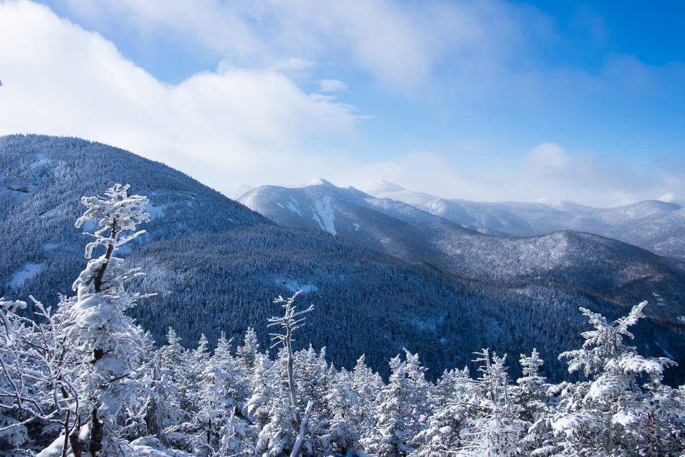
This hike was supporting Neil Luckhurst and his Project 100, which is raising funds for the ADK High Peaks Foundation.
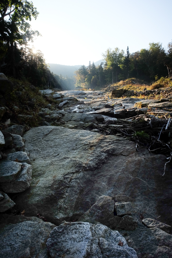
We started before sunrise, and made our expected time to the DEC Interior Outpost. From there we crossed Johns Brook onto the now-unmaintained South Side trail, first crossing the start of the Range Trail and a half mile later the base of Bennies Brook.
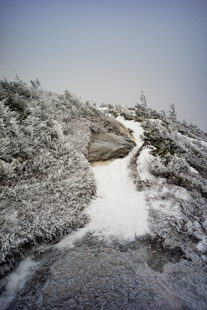
It’s been a long 9 months waiting for winter to arrive.
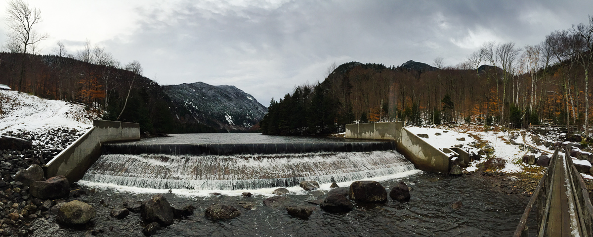
Lake Road still had a dusting of snow, and turning up the Weld Trail I realized that I probably could have brought snowshoes. There was easily 4″-8″ of snow all the way up to the junction with Sawteeth, and there was 8″-12″ up to the summit.

Lacking my usual distance-and-elevation calculator, I mapped out what looked to be a not impossible 24-mile loop, starting and ending at the JBL and covering Lower & Upper WolfJaw, Armstrong, Colvin & Blake. There just happened to be the Ausable Valley in between them.
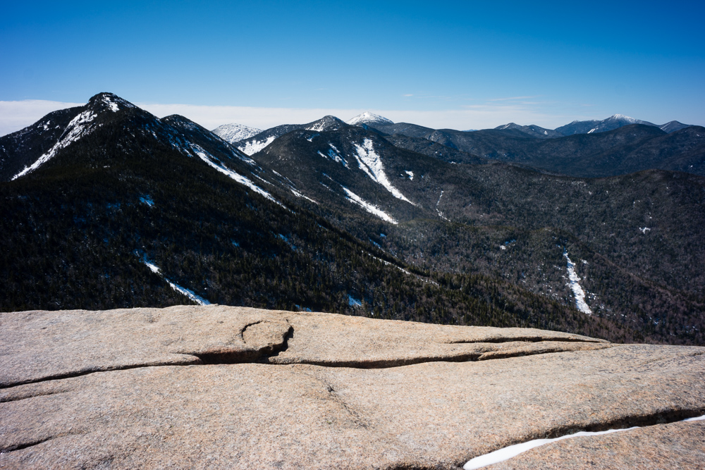
After a successful hike to Big Slide and with continuing cool temperatures and sunshine, I had hoped to take Kathy on a more wintry hike. We packed the snowshoes, hoped for a white fluffy trail and headed up two of the lower Great Range, Armstrong and Upper WolfJaw Mountains.
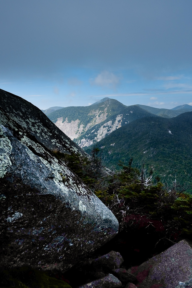
I hiked about 20.1 miles, gaining 7,200 vertical feet over 8 mountains. It wasn’t quite a full Great Range Traverse, but I got to hike some new trails and re-summit some of the most picturesque summits in the Adirondacks. It was a good day.

We made it fairly easily up to 4,173-foot Lower Wolfjaw which offered better views on the way than on the top, and then went back down-and-up to get to 4,173-foot Upper Wolfjaw. After lunch on Upper Wolfjaw, we easily had enough in us to make it down-and-up again to 4,400-foot Armstrong.