Reflecting on our 18-mile round trip hike to Allen Mountain I was reminded of a quote from one of my favorite movies:
“What type of mountain is Allen?”
“Oh, just like any other mountain, only more so.”
We picked a perfect cool and partly sunny day for hiking, and at 6:36AM signed in as the only people on the trail to Allen. Much has been written about one of the longer high peak hikes, not all of it positive. We couldn’t help but notice, starting from the bridge over the Hudson and re-route around Lake Jimmy to cleared trees on the ascent, that many people have put in time to make this hike better. Their efforts have been successful.
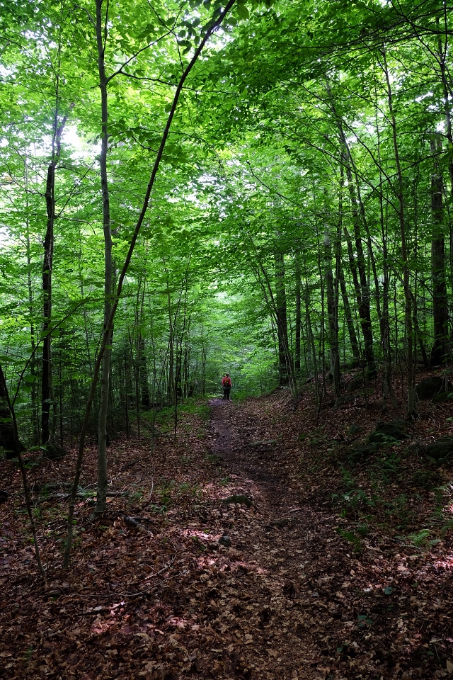
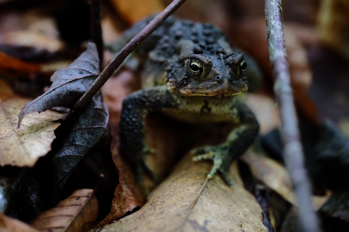
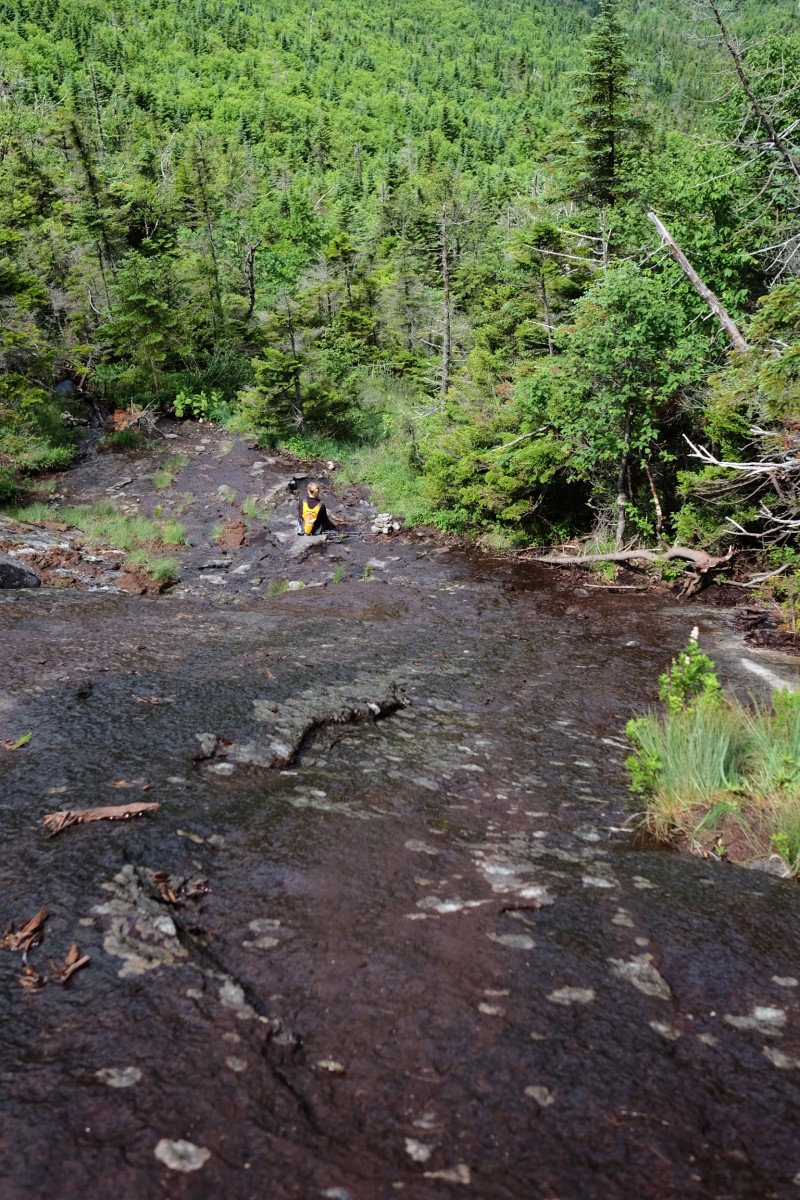
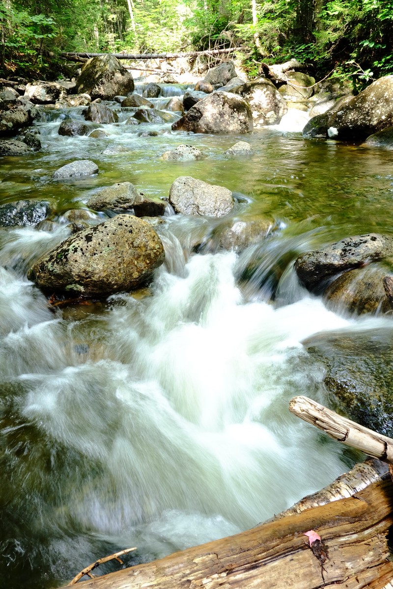
The hike is surprisingly varied, with various and sometimes sudden segments of soft forest, grassy meadow, old logging road, mud swallow, rocky trail, soft black sand (<- much appreciated on the way back!), stream bed, and of course Allen’s slide climb. There were times when the trail was dense, yet it was always obvious and straightforward to follow.
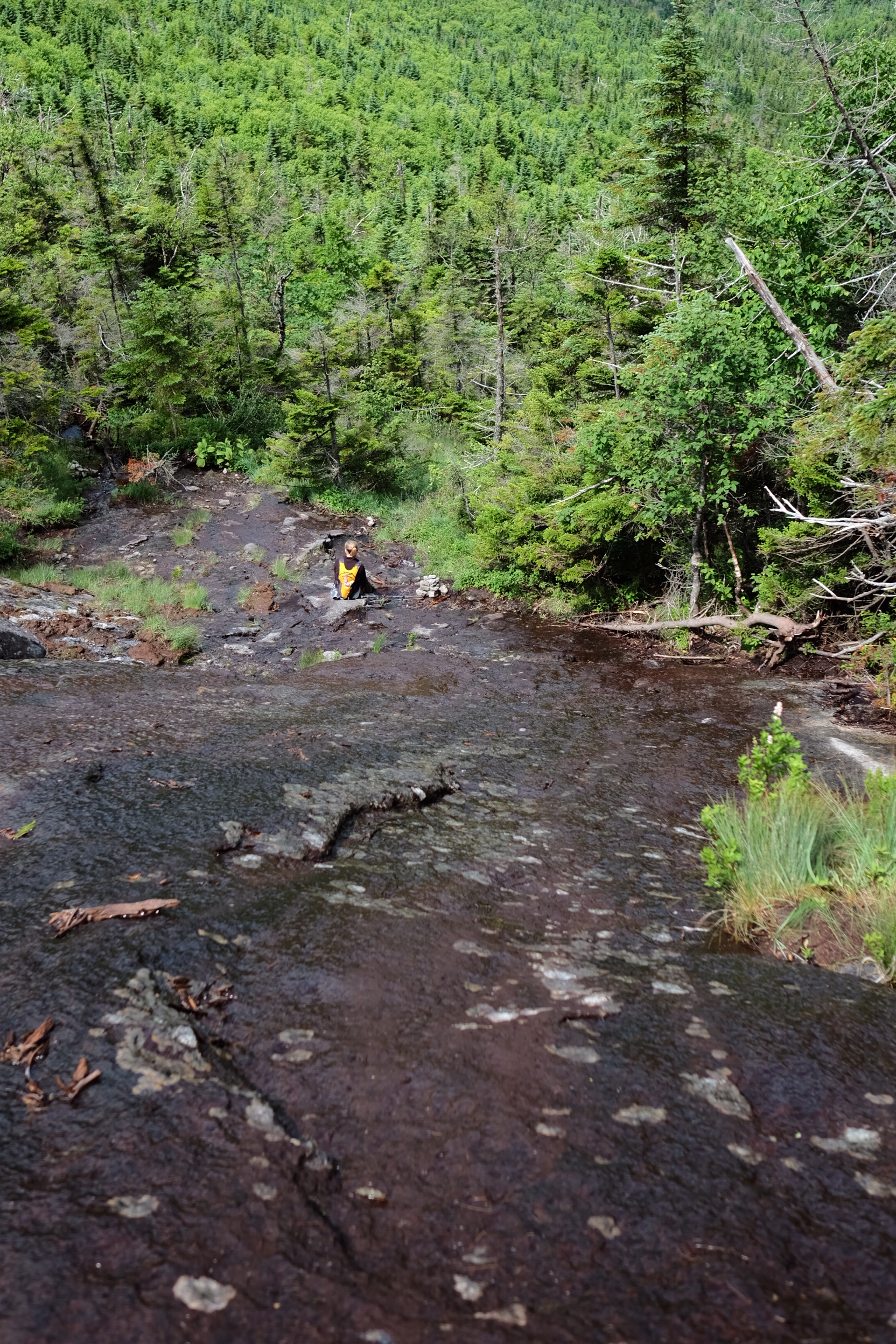
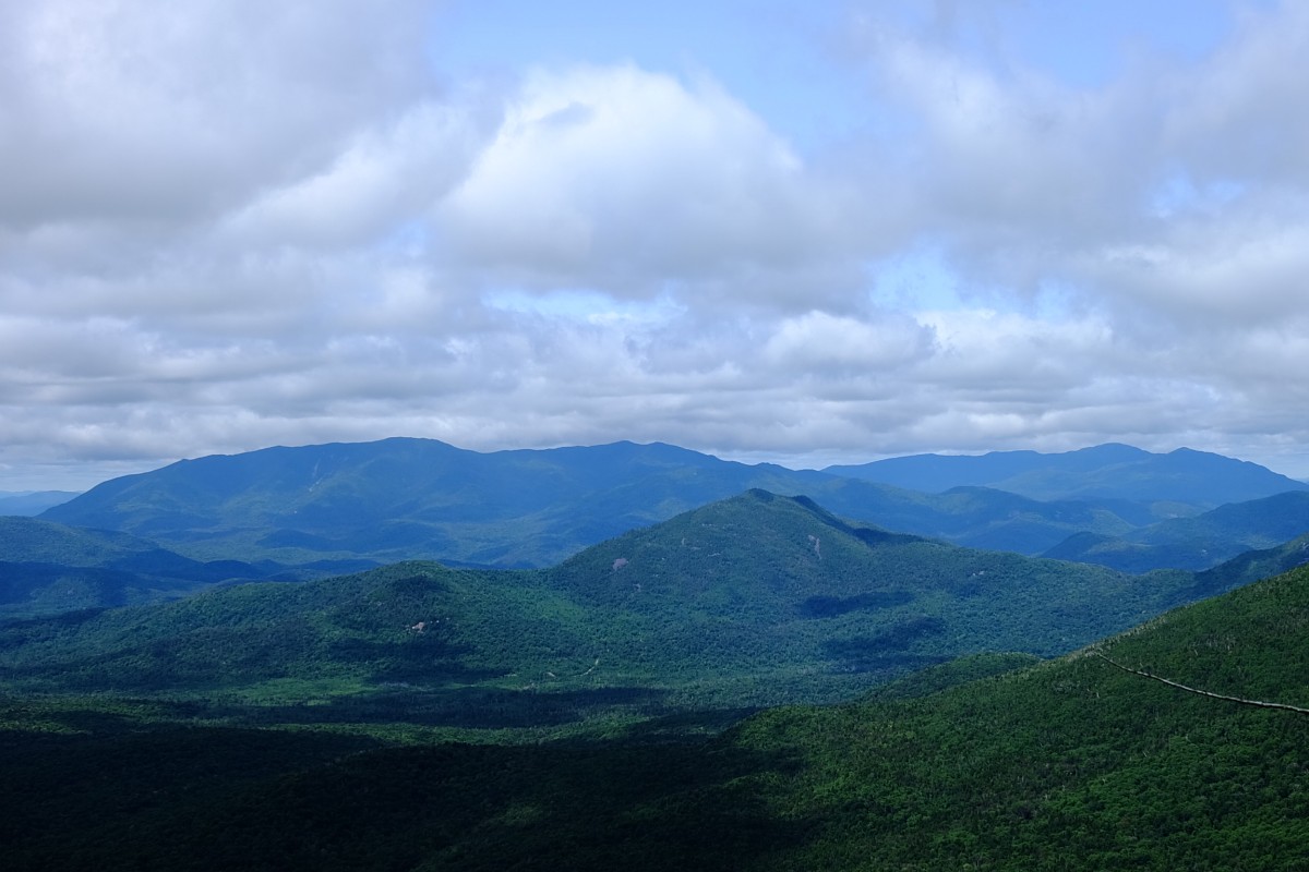
If you look at a profile of the hike, most of it is relatively flat with a sharp climb to the summit. The ADK High Peaks wiki appropriately terms the end “relentlessly steep”. The climb is also known for its slippery rock, which since it rained the day before was pretty much all of it for us. We summited at about 12:30PM, which is slower than typical for us, and I’ll blame on our leisurely start (the blueberries are delicious) and the extra caution from the wet rock.
It took us 6 hours to summit, but after a refreshing lunch and a more focused effort we made the return trip in just over 5 hours.
Some personal notes:
- Especially for early morning hikes (from the dew) or after a rain, long gaiters would have been nice for the grassy part of the hike. My pants were sopping wet by the time we got to the Opalescent River.
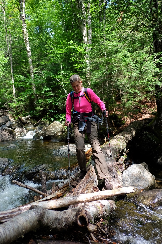
- We spent more time taking our shoes off (and putting them back on) to cross the Opalescent than I expected. It would have been nice to bring a towel to dry our feet after frigid knee-high crossing.
- Be prepared for a long day. Before the climbing started, Kathy appropriately said “it feels like we’re on a long meander through the woods.”
We saw only two other groups, both on the descent, one of which was from West Chester and Downingtown. The man from Downingtown was completing his second round of 46 with his son-in-law, and the guy from West Chester (on his 10th high peak) brought his girlfriend for her first high peak to Allen. We congratulated her on what surely must have been a brutal introduction!
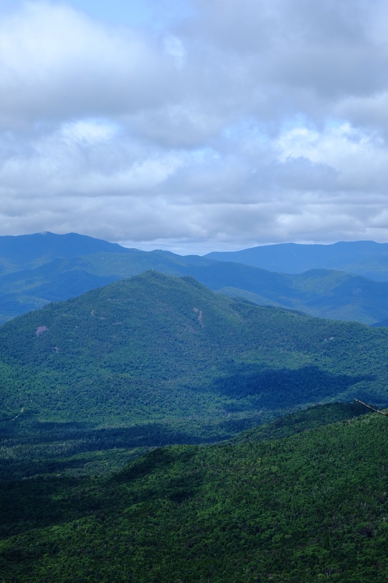
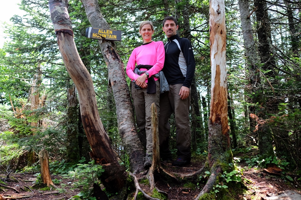
Allen was long, it had plenty of mud, had sections of beautiful trail and sections of rocky bouldering. It had a bridgeless water crossing, streambed climbing, slippery rock, and a slide. It was 18 miles and 3,850 mostly at the summit vertical feet. In other words, it was “just like any other mountain, only more so.”


The Fuji X-A1 was a perfect companion! Pics are straight out of the camera (except a couple which I had to resize).
2014: 3 high peaks As of 7/29/14: 38 (out of 46) high peaks completed.
2014 high peaks – 3: Colvin & Blake, Allen Mountain
2013 high peaks – 14 (8 new): Macomb, S. Dix, E. Dix & Hough; Tabletop; Cliff & Redfield; Marshall; Whiteface & Esther; Dix; Santanoni, Panther, & Couchsachraga
2012 high peaks – 24 (23 new): Big Slide; Lower Wolfjaw, Upper Wolfjaw & Armstrong; Marcy; Gothics & Sawteeth; Street & Nye; Phelps; Rocky Peak Ridge & Giant; Skylight & Gray; Wright, Algonquin & Iroquois; Dial & Nippletop; Dix, Hough, S. Dix, E. Dix & Macomb
2011 high peaks – 3 (2 new): Algonquin; Cascade & Porter
2009 high peaks – 2: Cascade; Giant
Edit: See: Our Path to 46.
Leave a note